

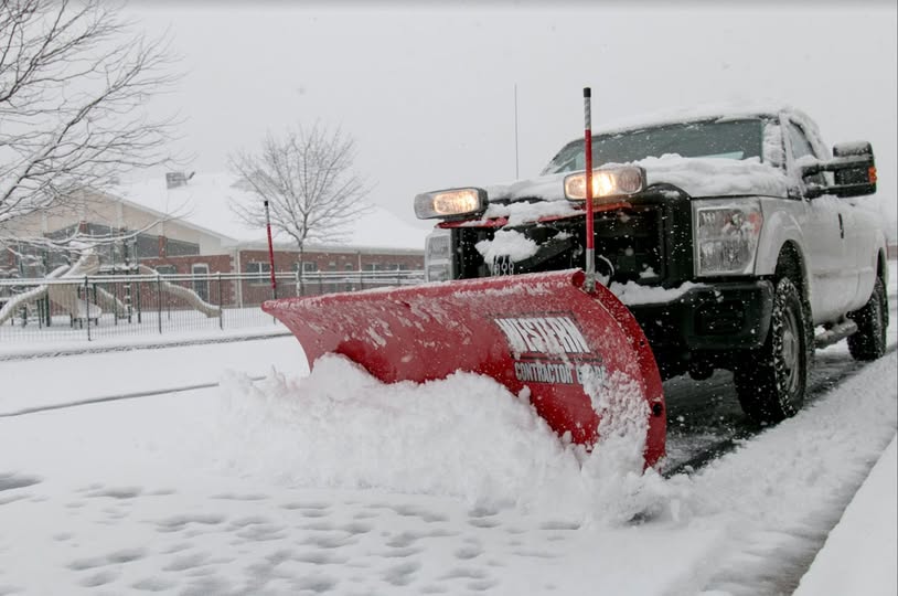
According to the National Weather Service, this January is the snowiest January in 10 years (since 2016) for Lower Bucks County region.
With students returning to school Tuesday and the dig out continuing across the region forecasters are warning about the brutal cold settling in the area for the remainder of the week.
A Cold Weather Advisory is in effect for the entire area through Wednesday morning, as wind chills below 0 degrees are expected both today and Wednesday morning, with some locations seeing wind chills of -10 to -15 degrees, said forecasters.
The very cold conditions won’t stop there. In fact, wind chills may be the coldest Thursday and Friday.
A Code Blue remains in effect throughout Bucks County until Saturday.
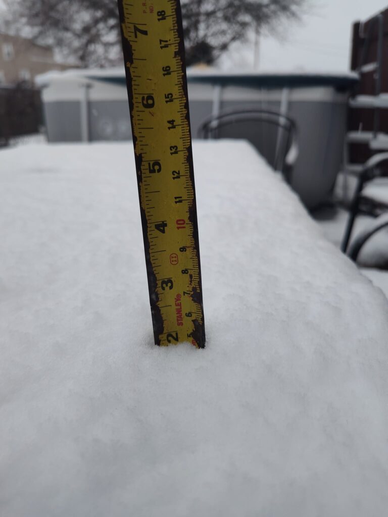
Snow fall measure as of early Sunday while the storm pelted the area falling 1 to 2 inches per hour, according to NWS Credit: Joe Nelson
Snowfall values, NWS said. are in some cases a few inches greater than the current snow depth. This is due to compaction of Sunday morning’s snow under the weight of significant sleet accumulations that occurred later in the day.
Below are storm totals from across Lower Bucks County
• Bensalem Township – 10.2 inches (NWS trained spotter)
• Bristol Borough – 9 inches (reader)
• Fairless Hills, Falls Township – 10 inches (reader)
• Langhorne – 10 inches (NWS trained spotter)
• Levittown – 9.6 inches (NWS trained spotted)
• Levittown, Bristol Township – 10 inches (reader)
• Newtown – 10.5 inches (NWS public)


Recent Comments