

The National Weather Service (NWS) has issued a -Flood Watch- in effect from 2pm through late Tuesday night.
A Flood Watch is issued when conditions are favorable for a specific hazardous weather event to occur and when conditions are favorable for flooding. It does not mean flooding will occur, but it is possible.
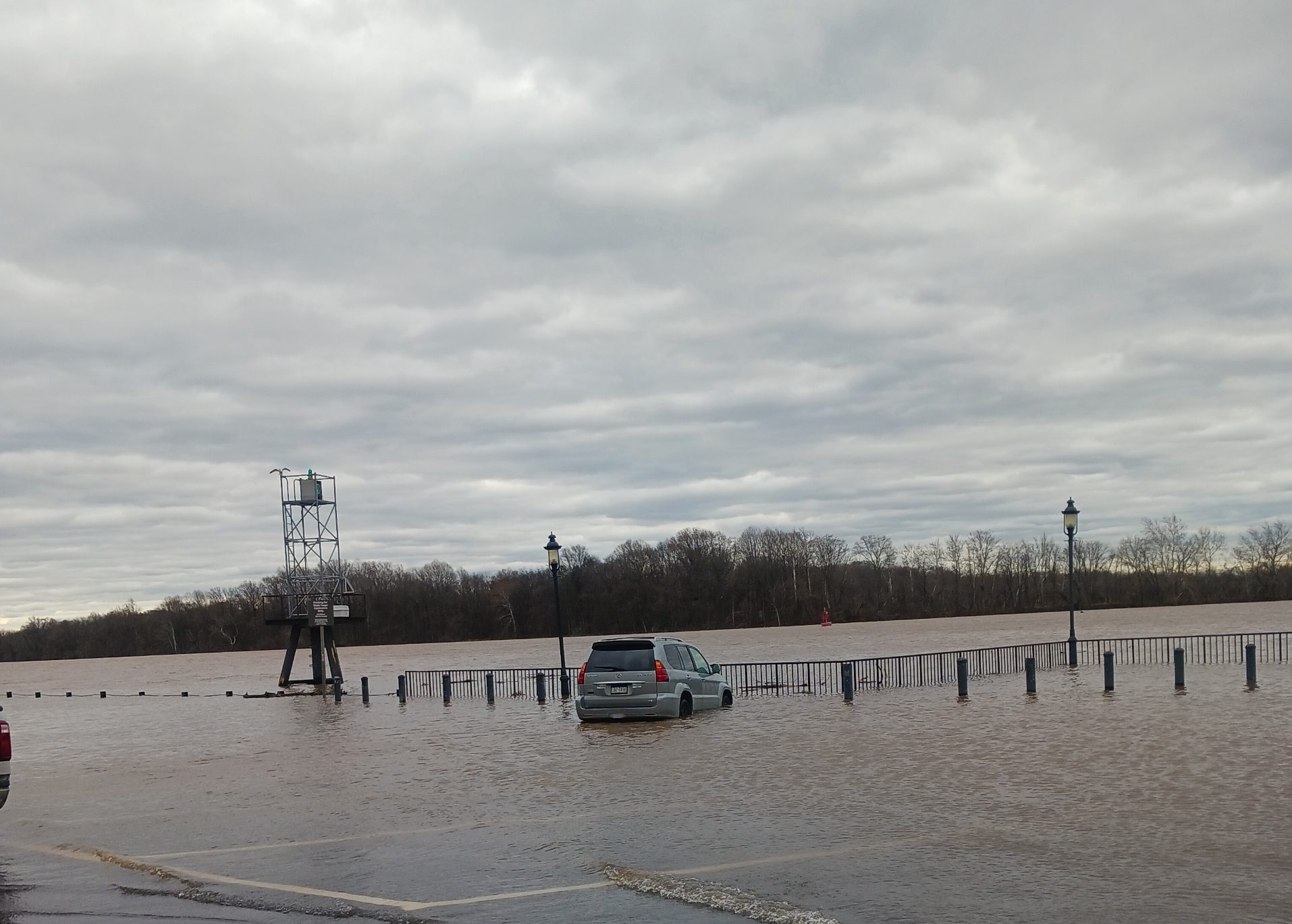
Another round of heavy showers and thunderstorms is expected to develop Tuesday afternoon and continue into the evening. These storms will have the potential to bring rainfall amounts of one to three inches within a brief period of time leading to flash flooding. Localized total rainfall amounts up to four inches will be possible before showers and storms wind down overnight Tuesday night.Excessive runoff may result in flooding of rivers, creeks, streams, and other low-lying and flood-prone locations. Creeks and streams may rise out of their banks.
Flooding caused by excessive rainfall is possible for Tuesday, July 1 for Pennsylvania, New Jersey and Delaware. in Pennsylvania the counties could be affected – Lower Bucks, Berks, Delaware, Eastern Chester, Eastern Montgomery, Philadelphia, Upper Bucks, Western Chester and Western Montgomery. In Delaware, New Castle and northern portions of the state are in watch mode and New Jersey including Camden, Gloucester, Hunterdon, Mercer, Middlesex, Northwestern Burlington, Salem, Somerset and Western Monmouth.
You should monitor later forecasts and be alert for possible flood warnings. Those living in areas prone to flooding should be prepared to take action should flooding develop.


Recent Comments